Skymap Africa Aerial Drone and land survey professionals believe in using modern Aerial LiDAR survey Drone technology to ensure rapid, safer, accurate and affordable delivery of Geospatial Data. Our proven GNSS, RTK, LiDAR and Multispectral Drone solutions simplify the collection and provide survey-grade accuracy data, allowing professionals in Architectural, Land Survey, Agriculture, Civil Engineering, Research and Physical planning to make smart decisions, faster.
Skymap Africa Surveys have provided high quality LiDAR Drone/UAV aerial survey and Mapping for many businesses across Nairobi,Kenya,Uganda,Tanzania,Somalia,Rwanda,Burundi,Sudan,South,Sudan and Africa at large. We can help you access all of those hard to reach locations that would otherwise take far more time and money to reach using conventional methods. We’ll take photos, Multispectral images and LiDAR using our drone aerial survey technology and give you a fast, cheap and safe survey, with as much information and detail Topographical data that you and your clients require.
Skymap Africa strives to provide clear-cut Aerial Drone Surveying/Mapping services across Africa. From having served the Government and Private sector in Land Surveying, Aerial Surveying for Land Management & Development, Land Slope monitoring, Stockpile volumetric measurements, Designing smart cities, Mapping greenfield projects, etc. our experience remains unsurpassed. Skymap Africa prioritizes quality and, thus, perpetually continues to achieve highly accurate topographic maps with centimeter level Accuracy at any given time. Decked with High-end surveying Drones, specialized sensors and a crew of skilled licensed Pilots, our clients obtain the deliverables faster, hence promoting more agile decision-making.
Solutions
- Topographic Survey
- Aerial LiDAR Survey
- GIS and Mapping
- Crop and Vegetation analysis (NDVI)
- Mining and volumetric measurement
- BIM and Structural Analysis
- Setting out Survey
- Environmental Monitoring and Protection
- Project Progress reports using Drones

Services

Drone Aerial Survey
Skymap Licensed professional Drone pilots are adding another tool, Drone Aerial survey and Mapping which complements our existing Land survey instruments, and boasts of quick data collection times and high precision.
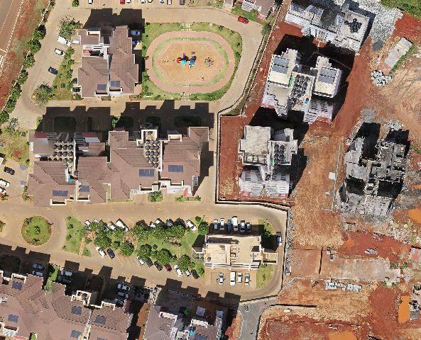
LiDAR Drones drastically reduce the amount of time spent collecting accurate Geospatial data. By acquiring RGB imagery, Multispectral bands and LiDAR data from the sky in the form of geo-referenced digital aerial images and point cloud, with resolutions as sharp as 2 cm per pixel, Skymap customers can gather millions of data points in a single Drone flight.

Ground Survey
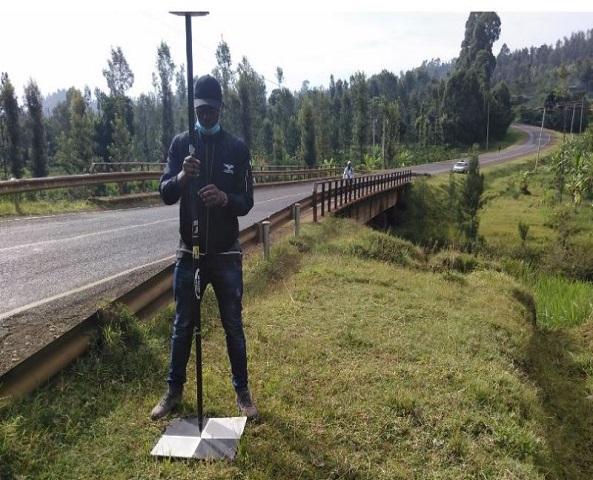
We offer a wide range of LiDAR Aerial mapping Land surveys, Engineering surveys, Topographical Surveys and digital Mapping Services and Solutions using latest and state-of-the-art Surveying equipment in Nairobi, Kenya, Uganda,Tanzania,Somalia,Rwanda,Burundi,Sudan,South,Sudan and Africa at large.and Africa region at large. Other services include: Bathymetric and Hydrographic survey, Drone mapping and image processing, 3D Terrestrial Scanning Services, Thermal Mapping, Geodetic and Control Surveys, multispectral mapping for precision farming among others. Skymap is proud to be able to offer clients high quality LiDAR Drone Topographic map, Ortho-mosaic, Digital elevation models, and contours line creation services.

Survey Equipment Hire
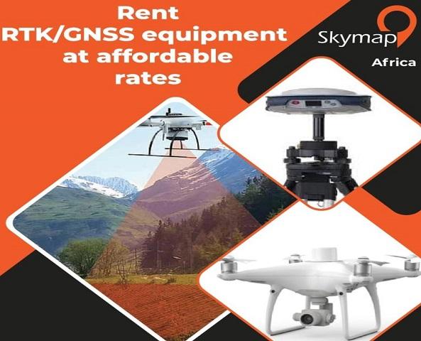
To augment our services in survey equipment sale, we also offer land and aerial survey equipment for hire to our clients. Skymap Africa offers survey equipment for hire at affordable rates. We lease /hire out a number of Surveying Engineering equipment here in Kenya and Eastern Africa region at large. Our survey equipment include RTK, Total Station, Handheld GPS Devices, RTK Drones, LiDAR Drone, Multispectral sensors, Dumpy Level and Digital Level machine .