Our experienced survey team combines GNSS/RTK surveying, Total Station, Drone Photogrammetry, and Drone LiDAR technology to collect detailed information about terrain, elevations, existing features, boundaries, roads, drainage, buildings, utilities, and other site conditions.
Skymap Africa has delivered Topographical Surveys, Land Surveys, Drone Surveys, and LiDAR Mapping services for clients and projects across Nairobi and other parts of Kenya, Tanzania, Uganda, the Democratic Republic of Congo (DRC), Burundi, Sudan, South Sudan, and across Africa.
Our topographical surveys provide accurate terrain and elevation data required for informed engineering design, architectural planning, infrastructure development, construction, road design, drainage planning, and land development..
For architectural and engineering applications, these Topographical maps help with planning and design. We can supply any degree of information, precisely surveyed, edited, and presented to meet your demands. We offer a range of industry-standard 2D and 3D digital formats for all of our survey data.
Solutions
- Topographical Survey
- Drone LiDAR & Aerial Surveys
- Measured Building Surveys
- GNSS/RTK & Survey Control
- Site Control & Setting Out
- Setting Out Engineering
- Construction Verification As Built
- 3D LiDAR survey
- Digital Terrain & 3D Modelling
- BIM and Structural Analysis
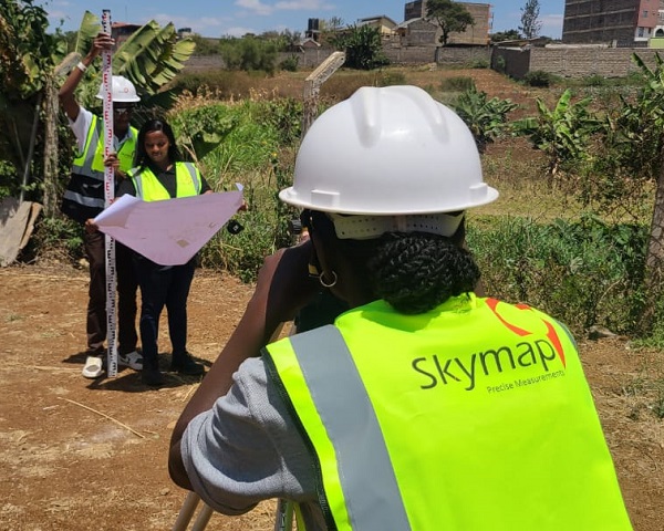
Other Topographical survey Services
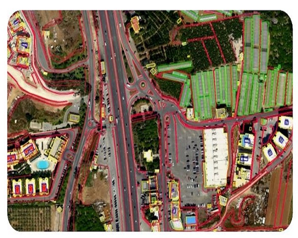
Drone Aerial LiDAR Topographical Survey
Skymap Africa’s licensed professional drone pilots are adding Drone LiDAR Aerial Survey and Mapping to our advanced surveying capabilities. This technology complements our existing Land Topographical Survey equipment and provides rapid data collection, high-resolution mapping, and accurate topographical survey results for a wide range of engineering and development projects.
Drone LiDAR significantly reduces the time required to collect accurate topographical and geospatial data. By capturing aerial photographs, multispectral imagery, and LiDAR data from the air in the form of georeferenced digital aerial images and detailed point clouds, Skymap Africa can collect millions of accurate data points during a single drone flight, providing highly detailed information for Topographical Surveys, LiDAR Mapping, terrain modelling, and engineering applications.
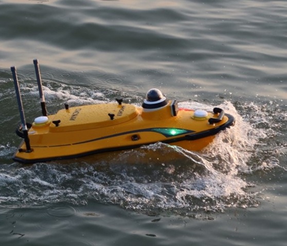
Bathymetric Survey
A hydrographic survey, commonly known as a Bathymetric Survey, is a water-based survey that measures and maps the depths, contours, and underwater topography of rivers, lakes, reservoirs, coastal areas, and other water bodies. Bathymetric surveyors aim to produce an accurate representation of the seabed or underwater terrain, while identifying elevations, depth variations, underwater anomalies, and potential scour around submerged or buried structures.
A hydrographic and bathymetric survey is one of the essential first steps in assessing the conceptual and practical feasibility of projects located in or near water. Accurate underwater mapping provides critical data for engineering design, construction planning, dredging, infrastructure development, environmental assessment, and water resource projects.
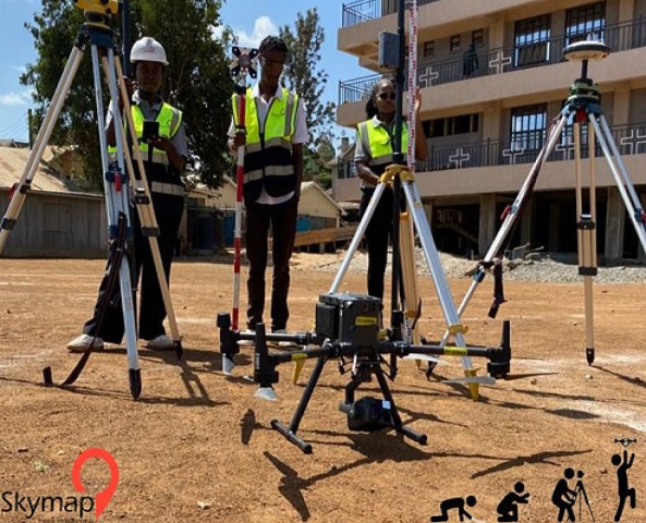
Survey Equipment Hire
In addition to supplying survey equipment, Skymap Africa provides clients with the option to hire or lease both ground-based and aerial surveying equipment. At competitive and affordable rates, we offer reliable survey equipment hire services in Kenya and across the Eastern Africa region.
A wide range of surveying and engineering equipment is available for short-term or long-term hire, depending on project requirements. Our available equipment includes GNSS and RTK GPS receivers, LiDAR systems, Total Stations, handheld GPS devices, RTK drones, multispectral sensors, Dumpy Levels, and Digital Levels. Our survey equipment hire solutions are suitable for land surveying, topographical surveys, construction, engineering, mapping, and GIS projects.