
Site reconnaissance & planning
Confirm the survey boundary, review available records, note access constraints and agree the scanning approach.
Subsurface Survey • GPR Mapping • Kenya & East Africa
Investigate what lies beneath the surface with non-destructive GPR surveying. Skymap Africa supports construction, infrastructure and site-planning teams with subsurface data to help identify potential buried utilities, underground features and changes in ground conditions.
Discuss Your GPR Survey ↗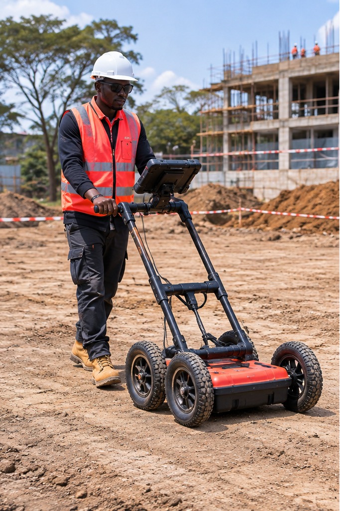
Illustrative AI-generated fieldwork visual; not a photograph of a verified project.
Project overview
Ground Penetrating Radar transmits electromagnetic energy into the ground and records reflections from boundaries where electrical properties change. These responses can help survey teams investigate possible buried services, subsurface structures and selected engineering features.
The survey design depends on the project objective, ground conditions, target size and expected depth. Results are interpreted from the recorded data and should be considered alongside existing utility records and other available site information.
Survey methodology
Skymap Africa’s GPR survey workflow is tailored to the site and the information required by the project team.
Confirm the survey boundary, review available records, note access constraints and agree the scanning approach.
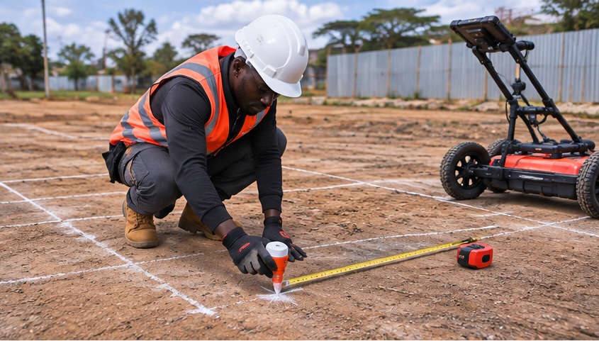
Mark scan lines or a regular grid and record positioning methods, line identifiers and survey references.
Collect radar traverses with an appropriate antenna frequency, documenting scan direction, spacing and site conditions.
Review signal continuity, coupling, repeatability and positional records; document relevant processing steps.
Assess radargrams and mapped responses, recording potential features, approximate depth where supportable and confidence.
Compile an interpretation plan and report, with limitations and recommendations for verification where required.
Project outputs
Deliverables are agreed to suit the survey scope and the intended use of the data.
Annotated site plan showing interpreted responses and survey coverage.
Selected processed radargrams or profiles supporting the interpretation.
Feature IDs, locations, depth estimates where justified, confidence and follow-up actions.
Scan-line or grid layout and coordinate reference information, where captured.
Acquisition parameters, processing notes and relevant quality-control observations.
Agreed digital formats for the client’s reporting and project workflow.
Fieldwork record
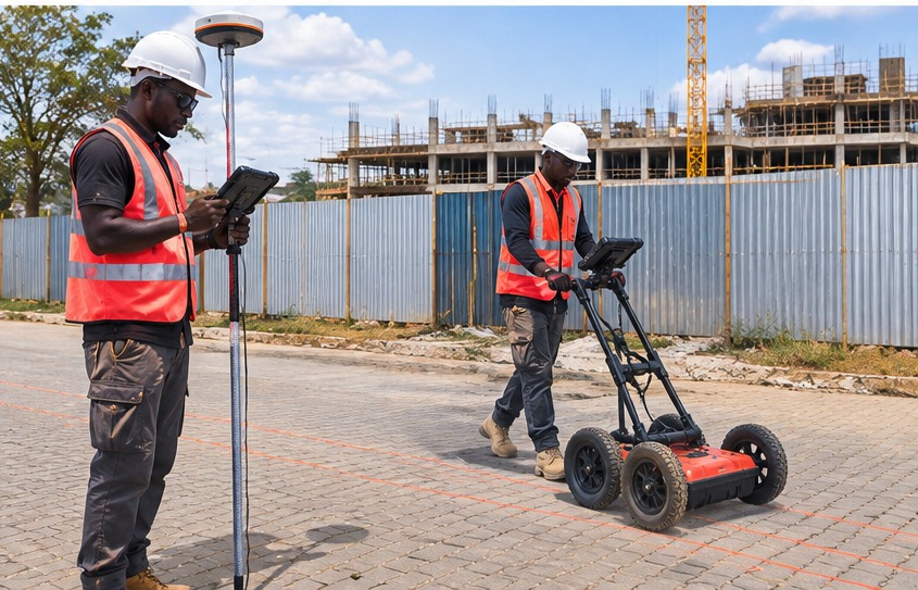
Examples of the types of activities involved in a GPR survey.
Important considerations
GPR is an indirect investigation method. Results need to be interpreted carefully and in context.
Frequently asked questions
GPR is a non-destructive geophysical method that sends electromagnetic energy into the ground and records reflections from subsurface boundaries. The data can help investigate possible buried utilities and other near-surface features.
No. Detection depends on ground conditions, target characteristics, equipment configuration and survey design. GPR findings should be treated as interpreted responses, not a guarantee that all buried services have been found.
Depth estimates depend on the ground’s electromagnetic properties and the processing assumptions. They should be reported as approximate unless supported by suitable site-specific calibration or validation.
Share the project location, approximate area or route length, survey objective, available utility/site plans, access conditions and required outputs. Skymap Africa can then discuss a suitable survey approach.
Plan your subsurface survey
Contact Skymap Africa to discuss GPR survey requirements for construction, infrastructure, utility investigation or site planning in Kenya and across East Africa.