
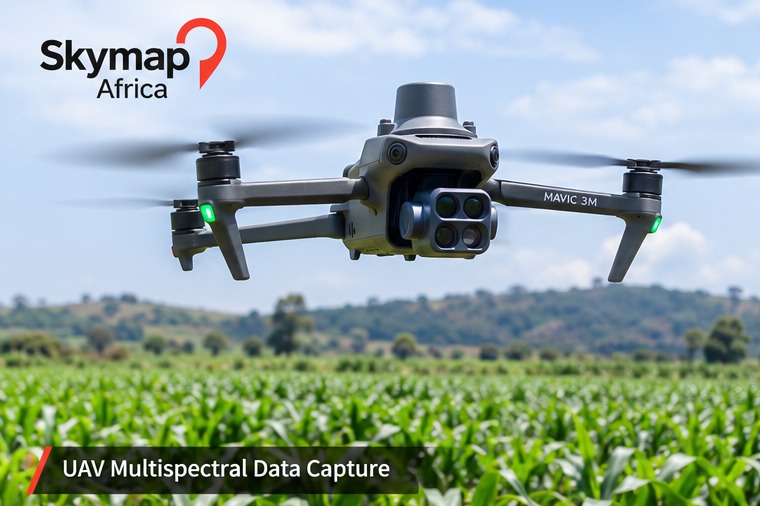
01 · Data capture
UAV multispectral acquisition
Plan and capture overlapping imagery over the defined farm boundary, recording flight conditions, crop stage and sensor settings.
Using UAV multispectral imagery and geospatial analysis to visualise crop variability, prioritise field scouting and support evidence-led agricultural decisions across Kenya and Africa.
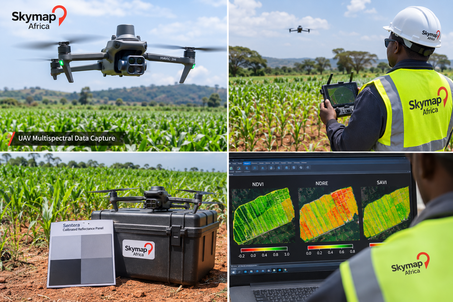
AI-generated illustrative visual for concept and marketing use; it is not a record of a verified site survey or measured crop-health result.
Multispectral sensors record reflected energy in selected wavelength bands. When imagery is properly calibrated and processed, the resulting maps can reveal spatial differences that may not be clear in standard RGB imagery.
Plan and capture overlapping imagery over the defined farm boundary, recording flight conditions, crop stage and sensor settings.
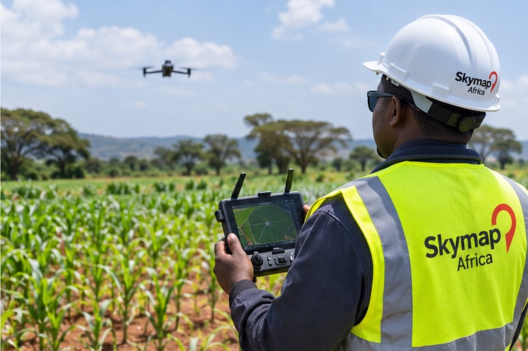
Monitor flight progress, image coverage and field conditions to support a consistent dataset for processing.
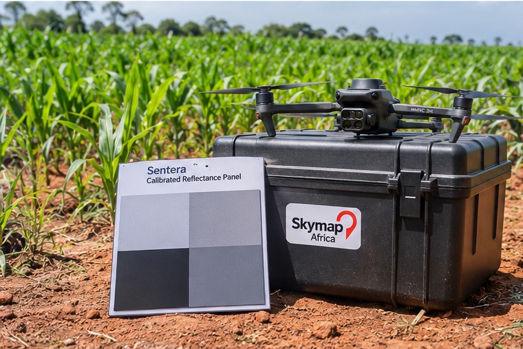
Apply the sensor-recommended calibration workflow, including reflectance-panel measurements where required.
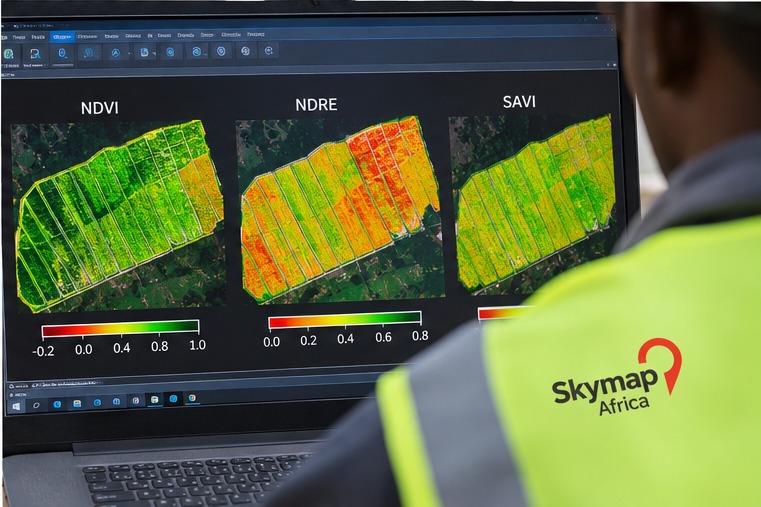
Generate and review suitable vegetation indices, then identify areas that may benefit from ground verification.
Index maps are useful for highlighting patterns and helping teams decide where to inspect. They are indicators of vegetation response—not a diagnosis of a specific crop problem.
(NIR − Red) / (NIR + Red). A relative indicator of vegetation activity and spatial variability.
(NIR − Red Edge) / (NIR + Red Edge). Can help assess variability in denser canopies.
((NIR − Red) / (NIR + Red + L)) × (1 + L). Helps reduce soil-brightness influence when appropriate.
Each stage should be documented and quality-checked before outputs are used for crop-management decisions.
Confirm farm boundary, crop stage, permissions, flight plan and survey requirements.
Acquire overlapping multispectral imagery under suitable and documented conditions.
Calibrate, align bands, generate orthomosaics and check coverage and georeferencing.
Produce index maps, summarise patterns and recommend locations for field verification.
Final formats and available layers are confirmed for each project and depend on the sensor and processing workflow.
Share your farm location, crop type, area and intended use. Skymap Africa can help define a suitable multispectral acquisition and mapping workflow.