
Reliable survey data in a complex urban environment
As part of the Intelligent Transport System (ITS) initiative led by the Kenya Urban Roads Authority (KURA), Skymap Africa is undertaking surveys across 125 junctions in Nairobi to support improved road planning and infrastructure development.
Road design in an established city requires more than measuring the road surface. Overpasses, underpasses, footbridges, adjoining roads, drainage features and continuous traffic create a demanding environment for survey teams. Engineers need a clear and dependable picture of existing conditions before proposed improvements can be designed.
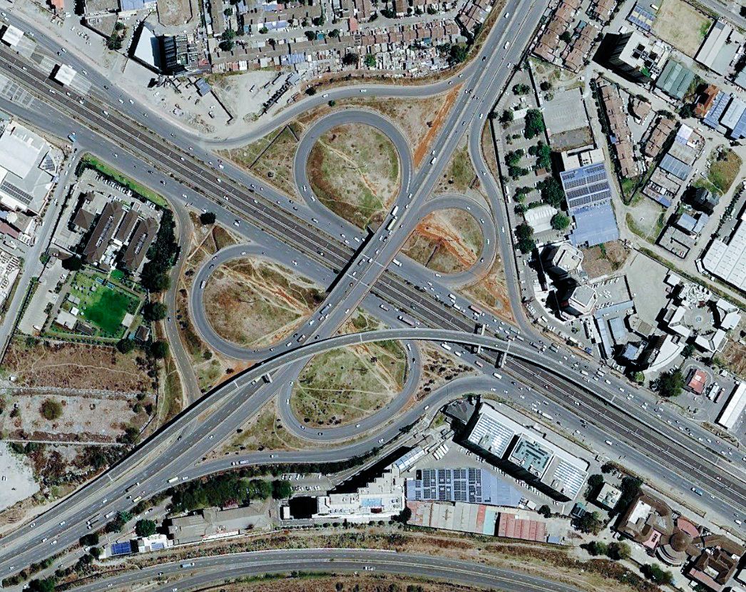
Capturing road geometry beyond isolated points
RTK GNSS ground surveying provides accurate elevations at selected locations. However, these measurements are discrete points. When used to create an elevation model, the surface between them must be interpolated, and subtle local changes may not be fully represented.
At complex junctions, small changes in road crowns, kerbs, ramps and gradients can influence engineering decisions. Working space is limited, and the movement of vehicles and pedestrians makes conventional observations operationally sensitive. A broader and more continuous representation of the road surface can help engineers understand the existing environment more fully.
Drone mapping supported by ground surveying
Skymap Africa combined aerial image capture with survey control and targeted ground measurements. The workflow was designed to provide extensive spatial coverage while maintaining a reliable link to the required coordinate reference system.
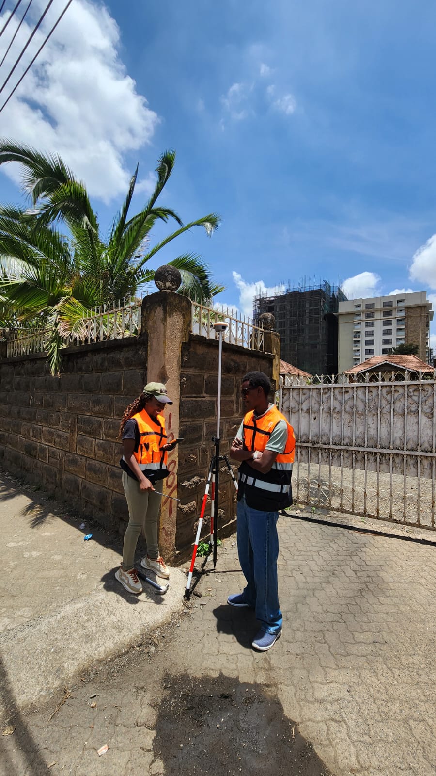
Establish survey control
Control points were established near the junctions using coordinates derived from the national grid. Precision levelling refined the vertical reference and supported reliable alignment of the survey datasets.
Capture the road surface from above
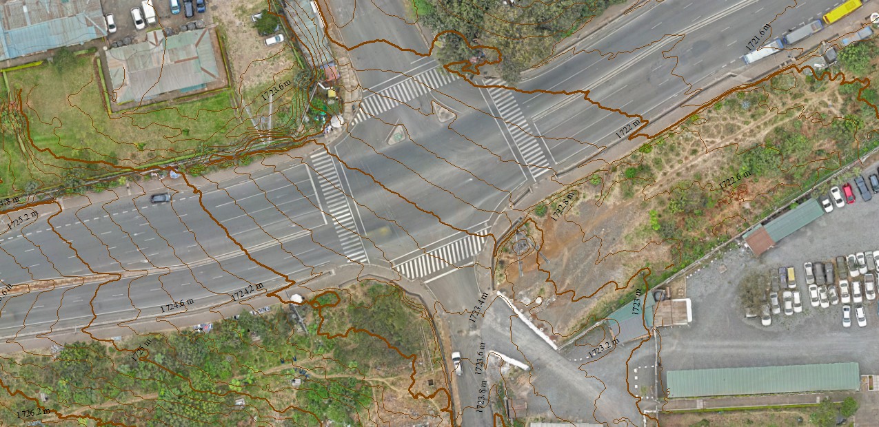
Drone surveys captured high-resolution imagery across the junctions. Processing produced georeferenced orthomosaics and digital terrain and surface models that represent elevation changes across the mapped areas.
Verify with targeted ground measurements
Aerial data was supplemented with ground surveying where trees, obstructions or concealed features could limit visibility of road edges, drainage features, utilities and other assets.
Turning survey data into practical design context
The outputs provide a detailed record of existing conditions to support engineering assessment and infrastructure planning. They can help project teams evaluate:
- Road geometry and elevation: understand existing gradients, road crowns and transitions.
- Drainage planning: assess surface flow paths, low points and locations requiring further drainage investigation.
- Junction redesign: compare proposed layouts with georeferenced imagery and three-dimensional surface information.
- Vertical clearance and level coordination: assess overpasses, underpasses and footbridges alongside targeted verification where required.
- Asset inventory: capture visible road features and supplement aerial observations where vegetation or other obstructions hide details.
Engineering-ready mapping outputs
The project achieved a ground sampling distance of 2 cm for aerial imagery. Drone-derived elevation data achieved a verified vertical accuracy of no more than 2 cm, supported by the survey control framework. More than 500 control points were established, with elevations refined through precision levelling to millimetre-level precision.
Digital Terrain Models
Elevation surfaces to support assessment of existing road levels, gradients and terrain.
Contours
Elevation information for interpreting terrain changes and road geometry.
Orthomosaics
High-resolution, georeferenced imagery of junctions and surrounding infrastructure.
InfraWorks-ready data
Surface and mapping outputs prepared to support Autodesk InfraWorks workflows.
CAD-ready drawings
Survey drawings for engineering design, coordination and further analysis.
Planning an infrastructure or road survey?
Skymap Africa combines drone mapping, GNSS/RTK control and ground surveying to turn complex sites into actionable geospatial data.