Mapping beneath the canopy
The Maasai Mara is one of Africa’s most remarkable wildlife ecosystems. Beneath its sweeping scenery, however, dense vegetation can obscure the ground and steep slopes create additional complexity for topographic surveys and future development.
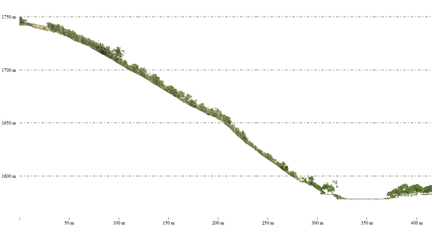
For teams considering access roads, drainage systems, building platforms or lodge development, understanding the actual terrain is essential. Conventional aerial imagery primarily records visible surfaces, making it harder to understand the ground where vegetation is dense.
The solution: DJI Matrice 350 RTK with Zenmuse L2
Skymap Africa deployed a DJI Matrice 350 RTK paired with the Zenmuse L2 LiDAR payload to capture detailed three-dimensional topographic data across the challenging landscape.
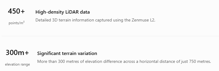
LiDAR uses laser pulses to collect three-dimensional measurements. Some laser returns can reach the ground through gaps in vegetation, helping reveal terrain that might otherwise remain concealed beneath the canopy. The survey achieved a reported point density of 450+ points per square metre, providing a detailed dataset for terrain modelling and analysis.
From complex terrain to practical engineering data
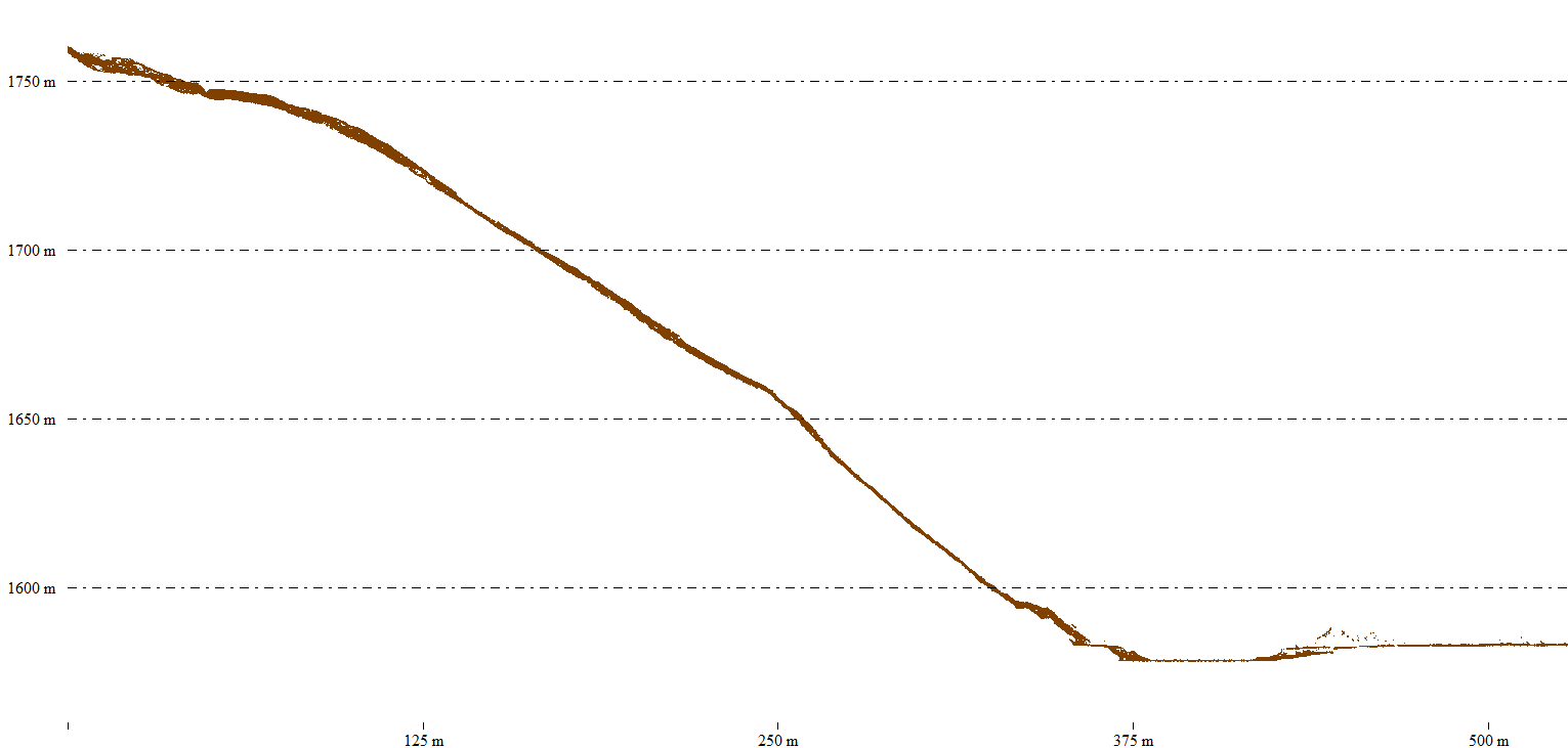
The resulting data supports digital terrain models, elevation analysis and topographic mapping to inform decisions across a range of project disciplines.
- Architectural planning: Evaluate steep sites, potential building platforms and development layouts.
- Civil engineering: Assess access roads, gradients, drainage routes and earthworks requirements.
- Environmental assessment: Provide baseline terrain information to support Environmental Impact Assessment (EIA) studies.
- Sustainable development: Help project teams understand the landscape before making design decisions in environmentally sensitive areas.
Understanding the ground before building on it
From lodges overlooking the Mara’s sweeping plains to infrastructure designed around steep terrain, successful development begins with understanding the landscape. Skymap Africa’s deployment of the DJI M350 RTK and Zenmuse L2 demonstrates how drone LiDAR can help address the challenges of dense vegetation and complex terrain.
Detailed elevation information helps engineering, planning and environmental teams make better-informed decisions while respecting the landscapes in which they operate.
Planning a project with challenging terrain?
Skymap Africa provides drone LiDAR, topographical surveys and geospatial mapping for engineering, infrastructure and land-development projects in Kenya and across Africa.
Talk to our survey team ↗